
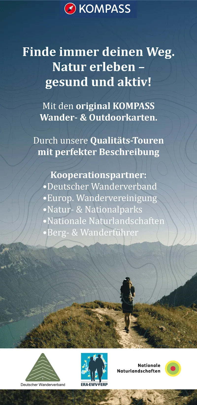

KOMPASS Outdoor & Wanderkarten is an application providing specialized maps for outdoor activities, suitable for those who love hiking, mountaineering, cycling, and other adventures.
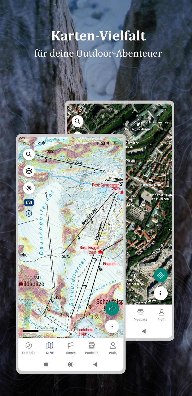
The application provides professional maps based on traditional KOMPASS paper maps, focusing on the European region (Germany, Austria, Italy, Switzerland, and surrounding areas) with a detailed network of marked trails, signposts, place names, peaks, nature reserves, highlights, and huts.
USEFUL FEATURES
KOMPASS Outdoor & Wanderkarten offers users a powerful set of tools to support planning and executing outdoor trips safely and conveniently.
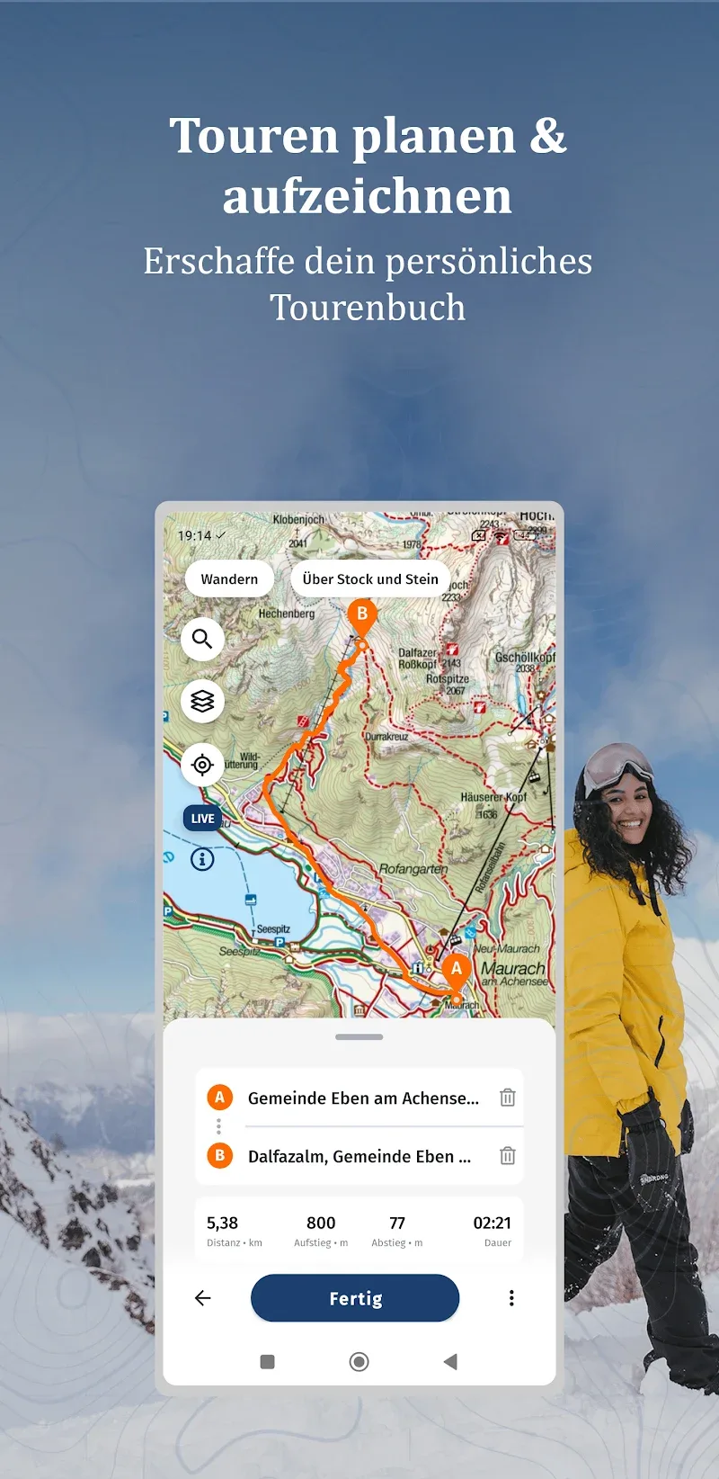
- Record and plan your trip: Easily record actual journeys or plan detailed routes before departure.
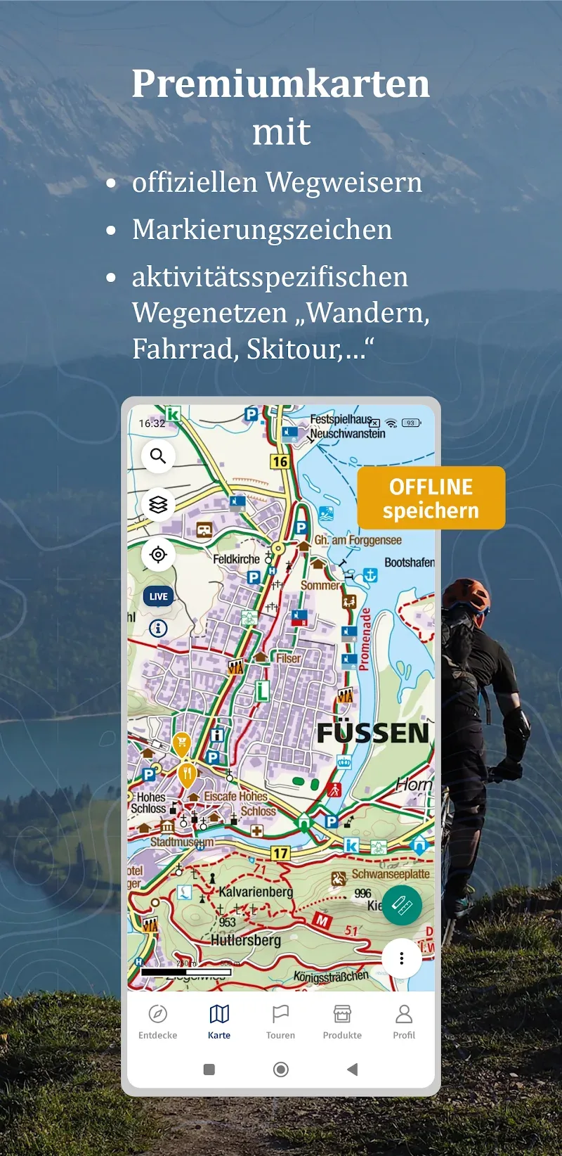
- Genuine KOMPASS Maps: Users will have access to high-quality hiking and outdoor maps from KOMPASS.
- Offline storage: Users can download maps and tours for use without an internet connection.
- Satellite Maps with Additional Information: View satellite maps with interesting locations and useful details already marked.
- Slope Overlay: This feature clearly displays terrain slopes to help assess the difficulty level of the route.
- GPS Location and Live Tracking: You can pinpoint your location in real time and track your journey on the map.
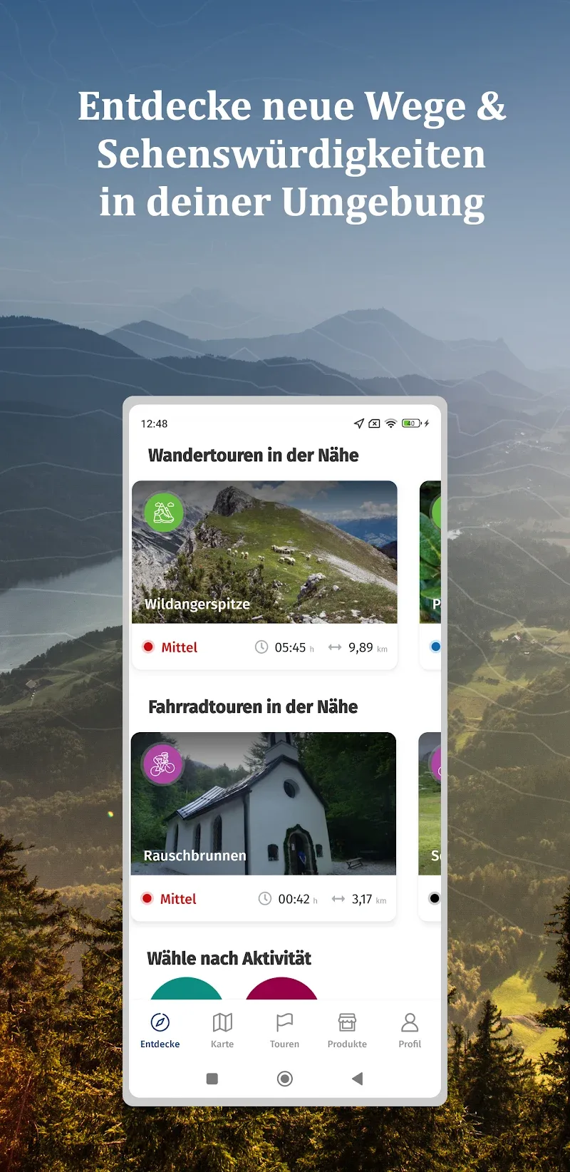
- Popular Routes: This application also provides useful information about popular routes in many famous tourist areas.
- Thousands of safe excursions: The walking and cycling routes compiled by KOMPASS are all certified safe and include detailed instructions.


Comments (0)